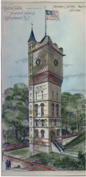

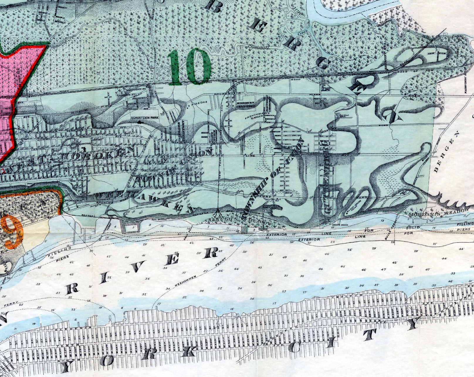
Hudson County Map - 1881
Item
- Title
- Hudson County Map - 1881
- Description
-
Section of a map contained in the Combined atlas of the State of New Jersey and the County of Hudson : from actual survey, official records & private plans / by and under the direction of G. M. Hopkins published by G. M. Hopkins & Co. of Philadelphia in 1873.
Click on the 'view back of item' link below for a larger version of this image.
From the map collection of the United States Library of Congress.
- Subject
- WHC88083
- Date
- 1881
- Type
- O2
- Identifier
- WHC88083
- Coverage
- Weehawken, NJ [40.7663711,-74.02537149999999]
- Tag
- Maps
- Miscellany
- Rights
- This digital image may be used for educational or scholarly purposes without restriction. Commercial and other uses of the item are prohibited without prior written permission from the Weehawken Historical Commission.
Tags
mapPosition: 1050 (119 views)