
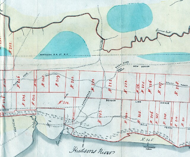
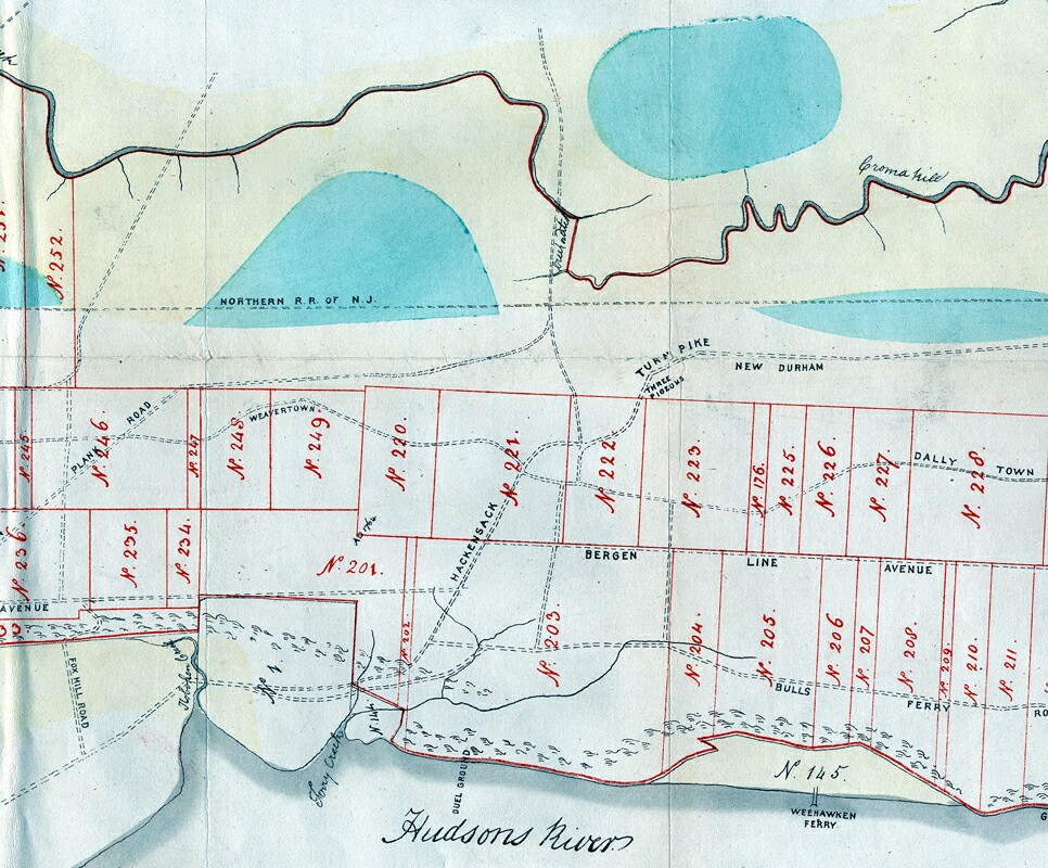
Hudson County Map - 1872
Item
- Title
- Hudson County Map - 1872
- Description
- Portion of a map from a folio in the collection of the US Library of Congress entitled History of Land Titles in Hudson County, New Jersey 1609-1871, by Charles H. Winfield. This is a portion of the last of three maps in this folio. The map is undated, but given the title of the portfolio, it is probably circa 1871. There is no documentation of the meanings of the plot numbers. Interesting items on this map: Duelling ground, Weehawken Ferry Three Pigeons Inn and New Durham From the collection of United States Library of Congress Call # F142.H8W72, map # 3.
- Subject
- WHC88084
- Date
- 1872
- Type
- O2
- Identifier
- WHC88084
- Coverage
- Weehawken, NJ [40.7663711,-74.02537149999999]
- Tag
- Maps
- Miscellany
- Rights
- This digital image may be used for educational or scholarly purposes without restriction. Commercial and other uses of the item are prohibited without prior written permission from the Weehawken Historical Commission.
Tags
mapPosition: 961 (133 views)