
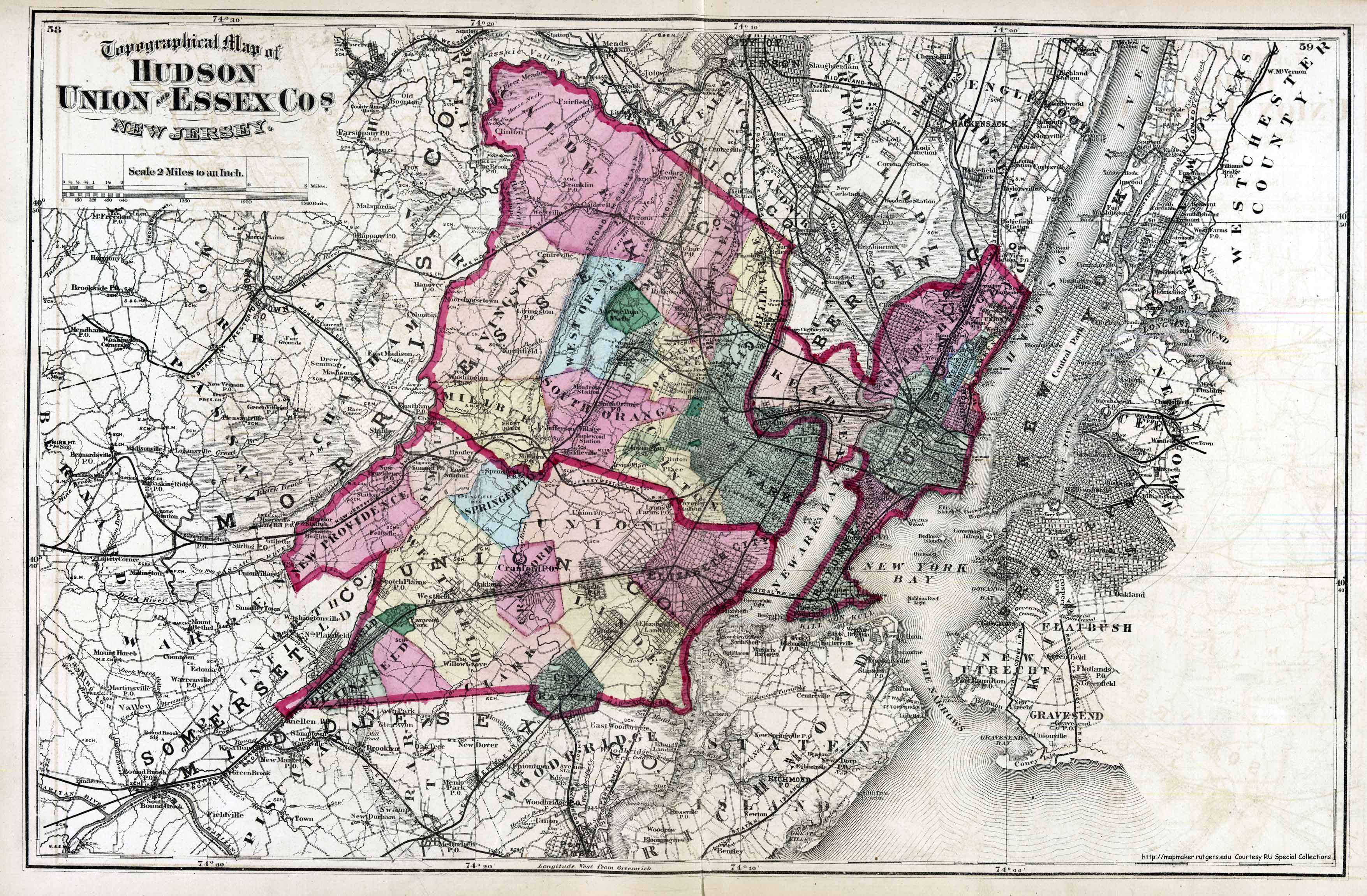
Map of Hudson, Union and Essex Counties - 1872
Item
- Title
- Map of Hudson, Union and Essex Counties - 1872
- Description
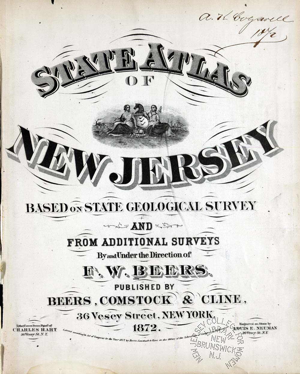
- This map of the area around Weehawken was part of State Atlas of New Jersey Based on State Geological Survey and from Additional Surveys by and under the direction of F.W. Beers published by Beers, Comstock and Cline New York City 1872
- Subject
- WHC88110
- Date
- 1872
- Type
- OT
- Identifier
- WHC88110
- Coverage
- Weehawken, NJ [40.7663711,-74.02537149999999]
- Tag
- Maps
- Rights
- This digital image may be used for educational or scholarly purposes without restriction. Commercial and other uses of the item are prohibited without prior written permission from the Weehawken Historical Commission.
Tags
mapPosition: 987 (129 views)