
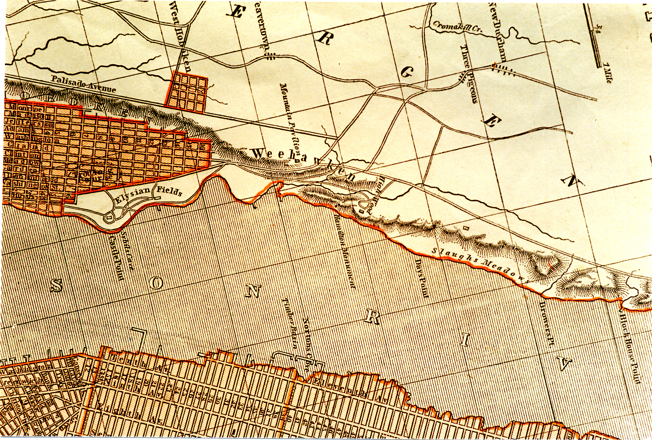
Weehawken Portion of 1842 Map
Item
- Title
- Weehawken Portion of 1842 Map
- Description
- This image shows the Weehawken portion of a map entitled New York and Vicinity and dated 1842. This map, published by Morse and Breeze, is in the collection of Tom Flagg, who provided this image.
- Subject
- WHC88113
- Date
- 1842
- Type
- OT
- Identifier
- WHC88113
- Coverage
- Weehawken, NJ [40.7663711,-74.02537149999999]
- Tag
- Maps
- Rights
- This digital image may be used for educational or scholarly purposes without restriction. Commercial and other uses of the item are prohibited without prior written permission from the Weehawken Historical Commission.
Tags
mapPosition: 682 (165 views)