
Items
Tag
rt495
-
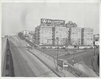 North Marginal Highway at Harbor View Condominium 9" x 11" black and white photograph of North Marginal Highway with 3315 Pleasant Avenue at right.
-
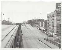 North Marginal Highway looking west 9" x 11" black and white photograph of North Marginal Highway and Pleasant Avenue intersection, looking west.
-
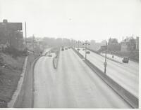 Route 495 looking east 9" x 11" black and white photograph of North Marginal Highway looking east.
-
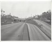 Entrance onto Route 495 from marginal highway 9" x 11" black and white photograph of entrance onto Route 495 from north marginal highway.
-
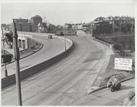 Boulevard East exit from Route 495 9" x 11" black and white photograph of the Boulevard East exit from the helix, going west
-
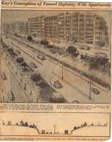 Newspaper Clipping - Kay's Conception of Tunnel Highway with Apartments Unidentified and undated newspaper clipping showing an artists rendition of the depressed highway approach to the Lincoln Tunnel. This item is in the collection of the Weehawken Historical Commission.
-
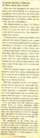 Newspaper Clipping - Proposed Meadows Highway To Open Dead End Tunnel Unidentified newspaper clipping which appears to be an opinion piece from the Hudson Dispatch from1938 in favor of the addition of a highway connecting the Lincoln Tunnel and the Pulaski Skyway, opining that adding connecting highways would spur greater usage of the tunnel and impel the Port Authority to complete the second tube. This item is in the collection of the Weehawken Historical Commission.
-
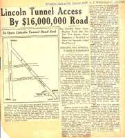 Lincoln Tunnel Access By $16,000,000 Road News clipping from the Hudson Dispatch of Wednesday, August 17, 1938 (?) describing plans to build an access road from the Pulaski Skyway to the Lincoln Tunnel in Weehawken. This item is in the collection of the Weehawken Historical Commission.
-
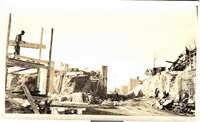 Photo - Construction of Ramp from 495 to Park Avenue Undated black and white photo, circa late 1930s showing the construction of the ramp from route 495 to Park Avenue. The library is visible on the right of the photo. This item is in the collection of the Weehawken Historical Commission
-
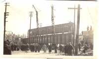 Photo - Installation of Park Avenue Bridge on Lincoln Tunnel Approach Undated black and white photo of the installation of the bridge carrying the Lincoln Tunnel approach over Park Avenue. There is a handwritten caption on the back: January 15th. Saturday at 3 PM. Placing this 55 ton steel to complete the ramp on Park Av. This item is in the collection of the Weehawken Historical Commission.
-
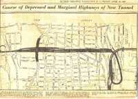 Map - Course of Depressed and Marginal Highways of New Tunnel Published in the Hudson Dispatch of Friday, April 23, 1937, this map shows the layout of the approaches to the new Lincoln Tunnel. Caption: The above diagram shows how the depressed highway of the Weehawken-Midtown Tunnel will cut through Union City and Weehawken. From the tunnel mouth in Weehawken the highway forms a loop around Boulevard East and swings up to begin its course across Union City at Pleasant av. The three sections forming the black area indicate the depressed highway and marginal surface highways. Where they pass New York av. at 32nd st., a plaza will be built, and continuing to the Hudson Boulevard, further developments will be made. The depressed highway will go under the Boulevard and remain depressed until it reaches Route 1 in North Bergen. This item is in the collection of the Weehawken Historical Commission.
-
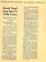 Lincoln Tunnel Loop Open To Traffic Today Newspaper clipping from the Hudson Dispatch of Saturday, October 15, 1938 (the date on the clipping was cut off, but I was able to determine the date through checking when it fell on a Saturday after 1937 and before 1940). This item is in the collection of the Weehawken Historical Commission
-
 The New Yorker: Route 3 From Our Correspondents: Route 3by Ian Frazier Article from:The New YorkerIssue of Feb 16/23, 2004 This article, about NJ Route 3, includes an interview with Weehawken Historical Commission Chair Edward Fleckenstein about the possible locations of the Burr-Hamilton Duel.